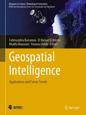
Geospatial Intelligence
ebook ∣ Applications and Future Trends · Advances in Science, Technology & Innovation
By Fatimazahra Barramou

Sign up to save your library
With an OverDrive account, you can save your favorite libraries for at-a-glance information about availability. Find out more about OverDrive accounts.
Find this title in Libby, the library reading app by OverDrive.


Search for a digital library with this title
Title found at these libraries:
| Library Name | Distance |
|---|---|
| Loading... |
This book explores cutting-edge methods combining geospatial technologies and artificial intelligence related to several fields such as smart farming, urban planning, geology, transportation, and 3D city models. It introduces techniques which range from machine and deep learning to remote sensing for geospatial data analysis.
The book consists of two main parts that include 13 chapters contributed by promising authors. The first part deals with the use of artificial intelligence techniques to improve spatial data analysis, whereas the second part focuses on the use of artificial intelligence with remote sensing in various fields. Throughout the chapters, the interest for the use of artificial intelligence is demonstrated for different geospatial technologies such as aerial imagery, drones, Lidar, satellite remote sensing, and more.
The work in this book is dedicated to the scientific community interested in the coupling of geospatial technologies and artificial intelligence and exploring the synergetic effects of both fields. It offers practitioners and researchers from academia, the industry and government information, experiences and research results about all aspects of specialized and interdisciplinary fields on geospatial intelligence.


