Walking the Ribble Way
ebook ∣ A one-week walk across Lancashire into Yorkshire from Preston to the source
By Dennis Kelsall

Sign up to save your library
With an OverDrive account, you can save your favorite libraries for at-a-glance information about availability. Find out more about OverDrive accounts.
Share

Find this title in Libby, the library reading app by OverDrive.


Search for a digital library with this title
Title found at these libraries:
| Library Name | Distance |
|---|---|
| Loading... |
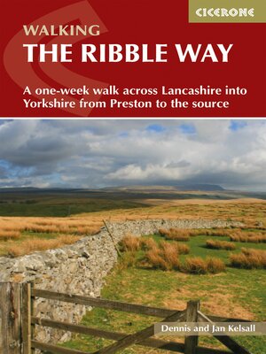
A guidebook to walking the Ribble Way between the estuary mouth near Preston and the Ribble river's source on Cam Fell in the Yorkshire Dales. Covering 116km (72 miles), this long-distance trail across Lancashire and Yorkshire takes 1 week to hike and is suitable for walkers of most abilities.
The route is described from south to north in 7 stages, each between 13 and 27km (8–17 miles) in length. Notes for day walkers are also provided including public transport access for all route stages.
Share


