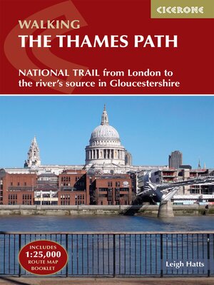
The Thames Path
ebook ∣ National Trail from London to the river's source in Gloucestershire
By Leigh Hatts

Sign up to save your library
With an OverDrive account, you can save your favorite libraries for at-a-glance information about availability. Find out more about OverDrive accounts.
Find this title in Libby, the library reading app by OverDrive.


Search for a digital library with this title
Title found at these libraries:
| Library Name | Distance |
|---|---|
| Loading... |
A guidebook to walking the Thames Path National Trail between Woolwich Foot Tunnel in east London and the river's source in Gloucestershire. Covering 292km (182 miles), this straightforward trail takes around 2 weeks to hike. A level walk alongside riverside paths, it makes an ideal first long-distance trail for beginners.
The route is described from east to west in 20 stages between 6 and 26km (4–16 miles) in length. An optional route extension from Erith in Kent to the traditional start at Woolwich Foot Tunnel is also provided.


