
Sign up to save your library
With an OverDrive account, you can save your favorite libraries for at-a-glance information about availability. Find out more about OverDrive accounts.
Share

Find this title in Libby, the library reading app by OverDrive.


Search for a digital library with this title
Title found at these libraries:
| Library Name | Distance |
|---|---|
| Loading... |
Illustrated guide to where and how the first great civilizations lived, shown on maps.
From the first cities of Sumer to the empire of the Incas, travel around the world and through 5,000 years of history to see where and how ancient peoples lived.
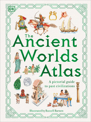
What was it like to live in the crowded city of Rome? Why did the Egyptians build pyramids? When did Samurai warriors first ride into battle? How did sailors first navigate the Pacific Ocean? Which Chinese emperor has a palace with 1,000 bedrooms? All these questions and more are answered in The Ancient Worlds Atlas - a lavishly illustrated guide to past civilizations. From North America to New Zealand, this book takes you on a trip around the world and through history to visit ancient cities and empires, showing who lived where and explaining the unique features of each civilization.
Russell Barnett's hand-drawn illustrations literally put the past on map, showing where and why the world's great cities grew and how archaeological evidence has provided clues to the past.
From the first cities of Sumer to the empire of the Incas, travel around the world and through 5,000 years of history to see where and how ancient peoples lived.
What was it like to live in the crowded city of Rome? Why did the Egyptians build pyramids? When did Samurai warriors first ride into battle? How did sailors first navigate the Pacific Ocean? Which Chinese emperor has a palace with 1,000 bedrooms? All these questions and more are answered in The Ancient Worlds Atlas - a lavishly illustrated guide to past civilizations. From North America to New Zealand, this book takes you on a trip around the world and through history to visit ancient cities and empires, showing who lived where and explaining the unique features of each civilization.
Russell Barnett's hand-drawn illustrations literally put the past on map, showing where and why the world's great cities grew and how archaeological evidence has provided clues to the past.
Share


