
Sign up to save your library
With an OverDrive account, you can save your favorite libraries for at-a-glance information about availability. Find out more about OverDrive accounts.
Share

Find this title in Libby, the library reading app by OverDrive.


Search for a digital library with this title
Title found at these libraries:
| Library Name | Distance |
|---|---|
| Loading... |
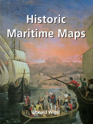
This book presents a selection of oceanic charts dating from the 13th to the 17th century. Though to us they may appear rudimentary, they bear excellent witness to the achievements of the early European navigators, and to their determination to explore the very ends of the Earth. What the charts may lack in geographical accuracy they undoubtedly make up for in charm. And of course they are priceless historical records. Recounting the epic voyages of maritime exploration, from Erik the Red to Robert Peary, author Donald Wigal leads us on an exciting journey from Terra Incognita to the World As We Know It.
Share


