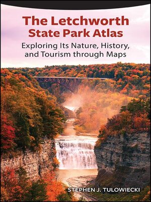
The Letchworth State Park Atlas
ebook ∣ Exploring Its Nature, History, and Tourism Through Maps
By Stephen J. Tulowiecki

Sign up to save your library
With an OverDrive account, you can save your favorite libraries for at-a-glance information about availability. Find out more about OverDrive accounts.
Share

Find this title in Libby, the library reading app by OverDrive.


Search for a digital library with this title
Title found at these libraries:
| Library Name | Distance |
|---|---|
| Loading... |
A visitor's companion to New York's Letchworth State Park, richly illustrated with ninety maps and thirty-five photographs.
Finalist for the 2022 Foreword INDIES Book of the Year Award in the Regional Category
With thundering waterfalls, towering cliffs, and vibrant autumn foliage, Letchworth State Park in New York is one of the most scenically spectacular parks in the eastern United States, attracting one million visitors per year. Modern tourists visit the park primarily to appreciate its scenery. However, the park has a long, complex, and sometimes contentious environmental and human history that spans back to Native American settlement. The Letchworth State Park Atlas includes over one-hundred pages of maps that shine new light on the nature, history, and tourism of the park. Maps feature the park's geology, ecological communities, weather and climate, water, Native American settlement, nineteenth-century settlement, tourist origins, and recreational opportunities. An ideal cartographic companion for a park visit, The Letchworth State Park Atlas is an educational resource for newcomers and those with a long-held interest in the park.
Share


