Snowdonia
ebook ∣ 30 Low-level and Easy Walks--South: From Ffestiniog to the Dyfi, and Bala to the coast
By Alex Kendall

Sign up to save your library
With an OverDrive account, you can save your favorite libraries for at-a-glance information about availability. Find out more about OverDrive accounts.
Share

Find this title in Libby, the library reading app by OverDrive.


Search for a digital library with this title
Title found at these libraries:
| Library Name | Distance |
|---|---|
| Loading... |
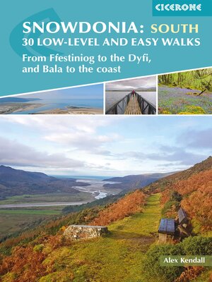
A guidebook to 30 low-level and easy day walks in the southern part of Eryri (Snowdonia) National Park in Wales. All circular except for Walk 10, which makes use of bus links, the routes vary in length and terrain ensuring that there is something for walkers of all levels of fitness and experience.
The walks range from 3–19km (2–12 miles) in length and can be enjoyed in 1–6 hours. They are arranged geographically into 4 areas: the Rhinogydd, Mawddach Estuary, Bala to Dolgellau, and Cadair Idris to the Dyfi.
Share


