
Sign up to save your library
With an OverDrive account, you can save your favorite libraries for at-a-glance information about availability. Find out more about OverDrive accounts.
Share

Find this title in Libby, the library reading app by OverDrive.


Search for a digital library with this title
Title found at these libraries:
| Library Name | Distance |
|---|---|
| Loading... |
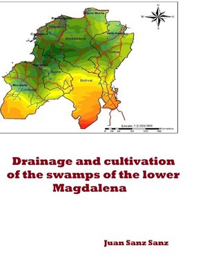
As is well known, the great Magdalena River forms a huge palustre space, covered with marshes and fertile floods, when approaching the sea. It is an inland delta caused by the presence of a coastal mountain range, of low altitude, but sufficient to slow the speed of the river, causing, on the one hand, the flood and, on the other, the deposit of rich silts during a long geological period. This is the most extensive potentially usable region of Colombia and has more than 10 million hectares.
If the waters of the floods of the Magdalena, Cauca, César and San Jorge rivers, and the great rains that fall in the region, had a better exit, with almost all probability the flooded regions would be dry and ready for cultivation.
To correct the causes that motivate the current flood, which render the land useless for cultivation, facilitating the outflow of water and exposing the soils, a drainage, deepening and expansion of the current channels would be necessary, lowering the level of the bed bottoms. The town of Mompós is located at a height above the sea of approximately 30 meters. There is sufficient level to carry out this operation.
Share


