Sign up to save your library
With an OverDrive account, you can save your favorite libraries for at-a-glance information about availability. Find out more about OverDrive accounts.
Find this title in Libby, the library reading app by OverDrive.


Search for a digital library with this title
Title found at these libraries:
| Library Name | Distance |
|---|---|
| Loading... |
2006 Overall Winner and Tertiary Education/Scholarly Reference Category Winner at the The Australian Awards for Excellence in Educational Publishing (now Educational Publishing Awards Australia EEPA).
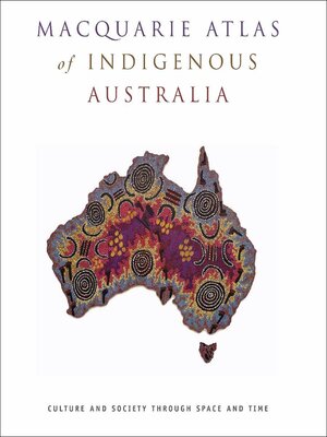
The Macquarie Atlas of Indigenous Australia is an award-winning title which opens up a window onto the landscape of Australian Aboriginal and Torres Strait Islander lives, from 60,000 years ago to the present time.
It covers a wide range of aspects of Indigenous life, including: society, culture, economics, politics, the environment, technology, land ownership and use, the visual and performing arts, sport, education, health, and place names. The maps form the core of the book and are supplemented by explanatory text, diagrams and illustrations, including Indigenous artworks.
Each chapter has been compiled by one or more experts in the field, under the general editorship of Bill Arthur and Frances Morphy of the Centre for Aboriginal Economic Policy and Research at the Australian National University.
This is a specially formatted fixed layout ebook that retains the look and feel of the print book.


