Origin of the Dutch coastal landscape
ebook ∣ Long-term landscape evolution of the Netherlands during the Holocene, described and visualized in national, regional and local palaeogeographical map series
By Peter Vos

Sign up to save your library
With an OverDrive account, you can save your favorite libraries for at-a-glance information about availability. Find out more about OverDrive accounts.
Share

Find this title in Libby, the library reading app by OverDrive.


Search for a digital library with this title
Title found at these libraries:
| Library Name | Distance |
|---|---|
| Loading... |
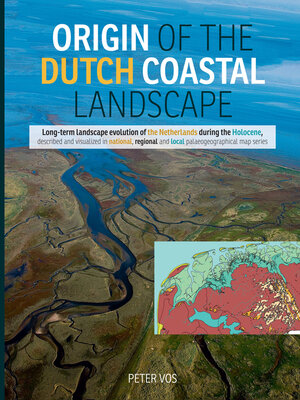
The topic of this book is the Origin of the Dutch coastal landscape during the Holocene. The landscape evolution is visualized in series of palaeogeographical maps and the driving mechanisms behind the environmental changes are discussed. The practice to make palaeogeographical map reconstructions in the Netherlands developed after the Second World War when a lot of regional geological and soil scientific mapping programs were carried out by government institutions and universities. These maps show when and how the surveyed sediments were formed. The palaeogeographical map reconstructions are subsequently used for the understanding and modeling of the long-term coastal evolution, coastal-management issues, landscape-archaeological purposes and for education and public information reasons. Geoarchaeological investigations play an important role in this study. Geological and palaeo-environmental data from archaeological excavations (‘key sites') provided essential information for the palaeolandscape reconstructions. In the presented regional- and local-case studies of this book, examples of these sites are shown.
Share


