
Sign up to save your library
With an OverDrive account, you can save your favorite libraries for at-a-glance information about availability. Find out more about OverDrive accounts.
Share

Find this title in Libby, the library reading app by OverDrive.


Search for a digital library with this title
Title found at these libraries:
| Library Name | Distance |
|---|---|
| Loading... |
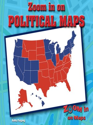
Where does Illinois end and Indiana begin? How do you know you are not entering Kentucky or Missouri instead? This informative look at political maps helps readers understand the symbols used for understanding political maps, including political borders and national and state capitals. Election maps and agricultural maps will also be explored as students analyze them for the information they provide. A follow-up activity leads students to make their own election map and write questions about it.
Share


