

Sign up to save your library
With an OverDrive account, you can save your favorite libraries for at-a-glance information about availability. Find out more about OverDrive accounts.
Share

Find this title in Libby, the library reading app by OverDrive.


Search for a digital library with this title
Title found at these libraries:
| Loading... |
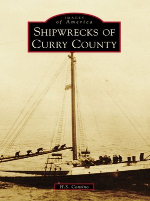
Historically, mariners considered the Oregon coast one of the most dangerous in the world. In 1852, explorers discovered gold in the rivers and along the beaches in Curry County, which is located in the southwestern corner of the state. Subsequent settlement concentrated on the coast. With few roads, water transportation was crucial for early settlers. The area contained many potential dangers to ships, including unpredictable weather, frequent fog, and submerged rocks and reefs. There have been many shipwrecks in the area like that of the tanker Larry Doheny, which was torpedoed by a Japanese submarine during World War II. Curry County is home to Cape Blanco, the second most westerly point in the continental United States, and Port Orford, the only open-water port on the Oregon coast (and one of only six "dolly" ports in the world). Modern technology and port improvements have reduced the number of shipwrecks, but accidents still occur.
Share


