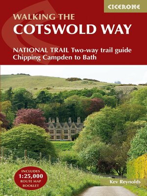
The Cotswold Way
ebook ∣ NATIONAL TRAIL Two-way trail guide--Chipping Campden to Bath
By Kev Reynolds

Sign up to save your library
With an OverDrive account, you can save your favorite libraries for at-a-glance information about availability. Find out more about OverDrive accounts.
Share

Find this title in Libby, the library reading app by OverDrive.


Search for a digital library with this title
Title found at these libraries:
| Library Name | Distance |
|---|---|
| Loading... |
Guidebook to walking the Cotswold Way National Trail between Chipping Campden and Bath, across the Cotswolds AONB - which includes both a guide to the route and a separate mapping booklet. The 102 mile (163km) route is described in both directions over 13 stages, of between 6 and 10 miles, depending on the existence of overnight accommodation. Camping options are sparse along the route.
This guidebook is illustrated with maps and the author's own full-colour photographs. The stage-by-stage route description is accompanied by overview maps at a scale of 1:100,000 (1cm to 1 mile). A more detailed map of the Way is supplied in booklet form, at a scale of 1:25,000, slid into the back of the book.
The Cotswold Way became a National Trail in May 2007, despite having been a much-loved walking route for more than 35 years. It follows the Cotswold escarpment, with dramatic and far-reaching views across the Severn Vale towards the Welsh hills, plunging down to visit honey-coloured villages, old market towns and the elegant and historic city of Bath.
Share


