
Sign up to save your library
With an OverDrive account, you can save your favorite libraries for at-a-glance information about availability. Find out more about OverDrive accounts.
Share

Find this title in Libby, the library reading app by OverDrive.


Search for a digital library with this title
Title found at these libraries:
| Library Name | Distance |
|---|---|
| Loading... |
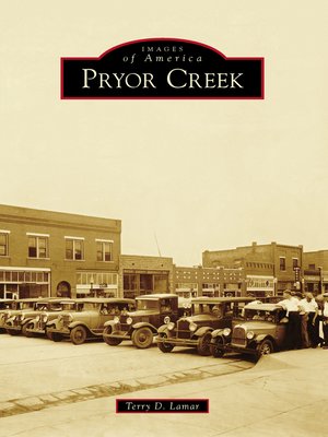
Pryor Creek, originally named Coo-y-yah (Cherokee for "huckleberry"), incorporated as a city in 1894. Also known as Pryor by the US Postal Service, it is located in northeastern Oklahoma and is the seat of Mayes County. The community is rich with history that dates back to its early days as Indian Territory, where many early residents settled after suffering a grueling journey on the Trail of Tears from the old Cherokee Nation. After starting as a rural farming community, with the addition of the railroad in 1870 Pryor Creek grew to become a major industrial economic force in the region following World War II. During the war, the area was home to a massive ammunition ordnance plant, which eventually became the largest industrial park in Oklahoma. In 1942, Pryor Creek's downtown business district was destroyed by the fifth-deadliest tornado in Oklahoma history. Pryor Creek is also a "gateway" known for its regional lakes and recreational areas.
Share


