Sign up to save your library
With an OverDrive account, you can save your favorite libraries for at-a-glance information about availability. Find out more about OverDrive accounts.
Find this title in Libby, the library reading app by OverDrive.


Search for a digital library with this title
Title found at these libraries:
| Library Name | Distance |
|---|---|
| Loading... |
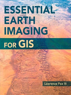
A guide to imaging technology and management, Essential Earth Imaging for GIS discusses characteristics of images obtained from aircraft and spacecraft, and how to enhance, register, and visually interpret multispectral imagery and point clouds. Geographic information system (GIS) professionals can use this book to learn about basic imaging technology. Students can use this book as a reference for introductory GIS courses that include multispectral image display and analysis.
Note: Esri Press e-books do not include 180-day trial software. Instead, you can download the ArcGIS Trial at http://www.esri.com/arcgis/trial.
Note: Esri Press e-books do not include 180-day trial software. Instead, you can download the ArcGIS Trial at http://www.esri.com/arcgis/trial.


