
Sign up to save your library
With an OverDrive account, you can save your favorite libraries for at-a-glance information about availability. Find out more about OverDrive accounts.
Share

Find this title in Libby, the library reading app by OverDrive.


Search for a digital library with this title
Title found at these libraries:
| Library Name | Distance |
|---|---|
| Loading... |
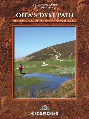
The Offas Dyke Path, a 177 mile National Trail, runs along the England / Wales border between Chepstow and Prestatyn. The main route is described in this guide in 15 stages, as are alternative routes which visit places of interest or detour to accommodation, as well as planning information to create flexible itineraries. The route - fully accompanied with OS maps - offers an attractive, and at times demanding, prospect for long-distance walkers as it wanders along the Wye Valley, the Black Mountains, Shropshire Hills and the Clwydian Range. Useful information on parking, maps required, distances, travel and accommodation is all included. Offa's Dyke was constructed by the powerful King of Mercia in the late eighth century to mark out the western boundary of his kingdom. The Offa's Dyke Path follows this centuries-old boundary and encounters, quiet walking, bustling towns (including Oswestry and Hay-on-Wye), gentle countryside, castles and ancient remains along its route, as the Path makes its way through varied, sometimes wild, often remote, and frequently superb scenery.
Share


