Sign up to save your library
With an OverDrive account, you can save your favorite libraries for at-a-glance information about availability. Find out more about OverDrive accounts.
Find this title in Libby, the library reading app by OverDrive.


Search for a digital library with this title
Title found at these libraries:
| Library Name | Distance |
|---|---|
| Loading... |
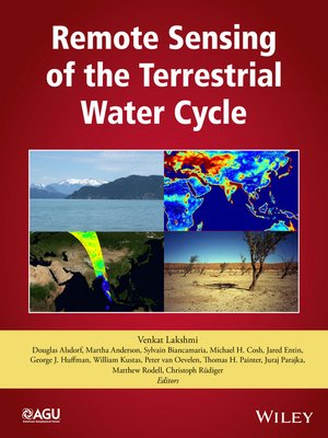
Remote Sensing of the Terrestrial Water Cycle is an outcome of the AGU Chapman Conference held in February 2012. This is a comprehensive volume that examines the use of available remote sensing satellite data as well as data from future missions that can be used to expand our knowledge in quantifying the spatial and temporal variations in the terrestrial water cycle.
Volume highlights include:
- An in-depth discussion of the global water cycle
- Approaches to various problems in climate, weather, hydrology, and agriculture
- Applications of satellite remote sensing in measuring precipitation, surface water, snow, soil moisture, groundwater, modeling, and data assimilation
- A description of the use of satellite data for accurately estimating and monitoring the components of the hydrological cycle
- Discussion of the measurement of multiple geophysical variables and properties over different landscapes on a temporal and a regional scale
Remote Sensing of the Terrestrial Water Cycle is a valuable resource for students and research professionals in the hydrology, ecology, atmospheric sciences, geography, and geological sciences communities.


