
Sign up to save your library
With an OverDrive account, you can save your favorite libraries for at-a-glance information about availability. Find out more about OverDrive accounts.
Share

Find this title in Libby, the library reading app by OverDrive.


Search for a digital library with this title
Title found at these libraries:
| Library Name | Distance |
|---|---|
| Loading... |
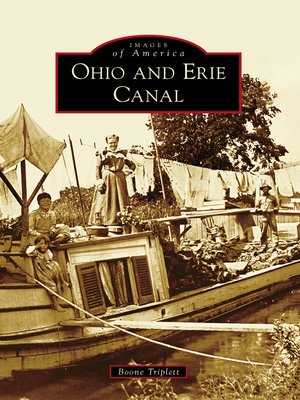
A fascinating history of the Ohio and Erie Canal, from a national leader in agricultural output to a recreational resource.George Washington first proposed the idea of a canal connecting the Great Lakes to the Ohio-Mississippi River System in 1784. Inspired by the Erie Canal in New York, the State of Ohio began surveying routes in 1822 for its own grand internal improvement project. Completed a decade later, the 309-mile-long Ohio and Erie Canal connected Cleveland, Akron, Massillon, Dover, Roscoe, Newark, Columbus, Circleville, Chillicothe, Waverly, and Portsmouth. Success was immediate, as this vital transportation link provided access to Eastern markets. Within a span of 35 years, canals transformed Ohio from a rural frontier wilderness into the nation's leader in agricultural output and third most populous state by 1860. Railroads marked the end of the canal as an economic engine, but traffic continued to operate until the Great Flood of 1913 destroyed the system as a commercial enterprise. Today, the Ohio and Erie Canal is enjoying a rebirth as a recreational resource.
Share


