
Sign up to save your library
With an OverDrive account, you can save your favorite libraries for at-a-glance information about availability. Find out more about OverDrive accounts.
Share

Find this title in Libby, the library reading app by OverDrive.


Search for a digital library with this title
Title found at these libraries:
| Library Name | Distance |
|---|---|
| Loading... |
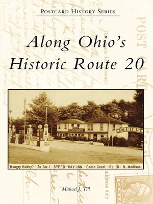
Route 20 was named a federal highway in 1926, and for the first half of the 20th century it was the most important east-west road across northern Ohio. Extending from the Pennsylvania border east of Conneaut to its western terminus with Indiana, it made Ohio the connecting link between Northeastern and Midwestern states. Fortunately, Route 20 has remained virtually intact and can be traveled much as people did in years past. Postcard History Series: Along Ohio's Historic Route 20 celebrates such a trip, illustrated by more than 200 vintage postcards depicting views along the way. Town and city scenes, rural vistas, and historic sites that drew early motorists to the highway are featured. Not to be forgotten are the tourist courts, hotels, diners, and gas stations that made automobile journeys possible.
Share


