
Sign up to save your library
With an OverDrive account, you can save your favorite libraries for at-a-glance information about availability. Find out more about OverDrive accounts.
Share

Find this title in Libby, the library reading app by OverDrive.


Search for a digital library with this title
Title found at these libraries:
| Library Name | Distance |
|---|---|
| Loading... |
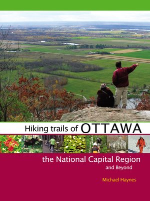
Collected here, for the first time, are the best hiking routes in the National Capital Region, including Gatineau Park, Ottawa’s Greenbelt, brand new trails at Manitou Mountain, and Eastern Ontario’s most outstanding provincial parks (Frontenac, Charleston, and Murphy’s Point), as well as gems hidden in the neighbouring Canadian Shield and Laurentian Highlands. All fifty routes are located within a roughly 100-km radius of Ottawa, all within easy reach. Michael Haynes provides GPS coordinates to the trailheads and cell phone coverage gaps on each trail, and his “Trails at a Glance” section highlights each route’s length, suggested completion time, permitted uses, entry fee, and degree of difficulty (ranging from easy walks to demanding hikes), as well as information on the conditions under which pets may or may not be permitted.
Share


