
Sign up to save your library
With an OverDrive account, you can save your favorite libraries for at-a-glance information about availability. Find out more about OverDrive accounts.
Share

Find this title in Libby, the library reading app by OverDrive.


Search for a digital library with this title
Title found at these libraries:
| Library Name | Distance |
|---|---|
| Loading... |
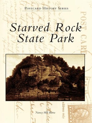
Starved Rock State Park is located midway between Ottawa and LaSalle. The park has more than 2,630 acres that include 18 beautiful canyons and waterfalls. One of the largest Native American encampments, the Grand Village of the Kaskaskia was located near Starved Rock. Fr. Jacques Marquette and Louis Joliet are believed to be the first white men to have set eyes upon the rock. Ren'-Robert Cavelier, Sieur de La Salle, built Fort St. Louis on the rock. Legend has it that a band of Illinois Indians starved to death while seeking refuge from its enemies on the rock, hence the name Starved Rock. Starved Rock State Park has remained virtuallyunchanged through the years as its history is told through the author's vintage postcards.
Share


