
Sign up to save your library
With an OverDrive account, you can save your favorite libraries for at-a-glance information about availability. Find out more about OverDrive accounts.
Share

Find this title in Libby, the library reading app by OverDrive.


Search for a digital library with this title
Title found at these libraries:
| Library Name | Distance |
|---|---|
| Loading... |
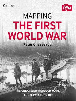
Follow the conflict of the World War 1 from 1914-1918 through a unique collection of historical maps, expert commentary and photographs. Published in association and including mapping from the archives of the Imperial War Museums. Ebook best viewed on a tablet. Over 100 maps demonstrating how the Great War was fought around the world. Types of maps featured: Small scale maps showing country boundaries and occupied territories Large-scale maps covering the key battles and offensives on all fronts of the war Trench maps showing detailed positions of the front line Maps from newspapers, battle planning and propaganda Key offensives covered include: The Battles of the Marne and Ypres Tannenberg and the Eastern Front Verdun and the Somme The Gallipoli Campaign Battle of Jutland The Advances to Jerusalem, Damascus and Baghdad Vimy Ridge and Passchendaele German 1918 offensives and Allied counter-offensives Battle of Jutland Along with the maps, key historical events are described, giving an illustrated history of the war from an expert historian.
Share


