
Sign up to save your library
With an OverDrive account, you can save your favorite libraries for at-a-glance information about availability. Find out more about OverDrive accounts.
Share

Find this title in Libby, the library reading app by OverDrive.


Search for a digital library with this title
Title found at these libraries:
| Library Name | Distance |
|---|---|
| Loading... |
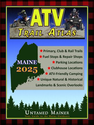
The 2025 Maine ATV, UTV & Dirt Bike Trail Atlas Includes:Primary Corridor Trails ATV Club Trails Access Trails (paved connector trails) Closed Trails (which can re-open) Gas Stations Parking Locations ATV Club Information Trailside Services Hot Spots, Loop Trails and Side Trips including: Moxie Falls The Moose Loop Maine's 11 Multi-Use Rail Trails B-52 Crash Site Low's Covered Bridge Mountaintop Climbs & Lookouts Scenic Overlooks Many more remote historic sites and natural landmarks! Terrain Features & Elevation
Share


