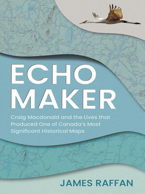
Echo Maker
ebook ∣ Craig Macdonald and the Lives that Produced One of Canada's Most Significant Historical Maps
By James Raffan

Sign up to save your library
With an OverDrive account, you can save your favorite libraries for at-a-glance information about availability. Find out more about OverDrive accounts.
Find this title in Libby, the library reading app by OverDrive.


Search for a digital library with this title
Title found at these libraries:
| Library Name | Distance |
|---|---|
| Loading... |
In an example of truth and reconciliation put into practice, Craig Macdonald spent decades creating a unique map of Temagami, developed through trust and experience, in partnership with the Teme-Augama Anishnabai.
James Raffan's biography of Craig Macdonald and how the Historical Map of Temagami came to be is a remarkable tale. In the mid-1960s, Macdonald began interviewing and travelling with Indigenous trappers and travellers. He became familiar with Anishinaabemowin and built a lasting bond with the traditional knowledge holders. Returning year after year to map the land, Macdonald painstakingly plotted traditional placenames, original shorelines, elevations, and traditional summer and winter travel routes — including the documentation of more than twelve hundred canoe portages and winter snowshoe trails. His map is unique in the Canadian cartographic canon, and its genesis is a story that has never been told, until now.
James Raffan's biography of Craig Macdonald and how the Historical Map of Temagami came to be is a remarkable tale. In the mid-1960s, Macdonald began interviewing and travelling with Indigenous trappers and travellers. He became familiar with Anishinaabemowin and built a lasting bond with the traditional knowledge holders. Returning year after year to map the land, Macdonald painstakingly plotted traditional placenames, original shorelines, elevations, and traditional summer and winter travel routes — including the documentation of more than twelve hundred canoe portages and winter snowshoe trails. His map is unique in the Canadian cartographic canon, and its genesis is a story that has never been told, until now.


