
Sign up to save your library
With an OverDrive account, you can save your favorite libraries for at-a-glance information about availability. Find out more about OverDrive accounts.
Share

Find this title in Libby, the library reading app by OverDrive.


Search for a digital library with this title
Title found at these libraries:
| Library Name | Distance |
|---|---|
| Loading... |
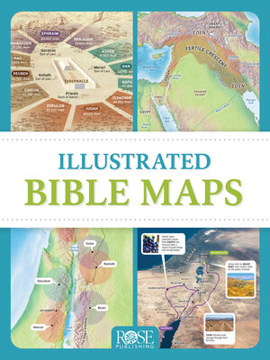
Packed full of fascinating maps, photos, and diagrams, Illustrated Bible Maps shows when and where Bible events happened. More than 100 Bible maps and illustrations will take you chronologically through the Old and New Testaments—from Abraham’s homeland in Mesopotamia to the seven churches of Revelation in Asia Minor.See the mountains of Ararat where Noah’s ark came to rest. Follow the route of the exodus through the Sinai Peninsula. See where David faced Goliath in the Valley of Elah. Locate all the places mentioned in the book of Psalms. Trace Paul’s missionary journeys across the Mediterranean Sea. You’ll gain a deeper understanding the ancient world of the Bible, with maps showing the rise and fall of empires like Assyria, Babylon, and Persia. Beautiful photos of the Holy Land will help you see where Jesus walked. Each chapter includes a concise timeline of the biblical time period so you can follow along with the big story of God’s work in the world through his people.
Share


