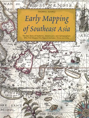
Early Mapping of Southeast Asia
ebook ∣ The Epic Story of Seafarers, Adventurers, and Cartographers Who First Mapped the Regions Between China and India
By Thomas Suarez

Sign up to save your library
With an OverDrive account, you can save your favorite libraries for at-a-glance information about availability. Find out more about OverDrive accounts.
Find this title in Libby, the library reading app by OverDrive.


Search for a digital library with this title
Title found at these libraries:
| Library Name | Distance |
|---|---|
| Loading... |
With dozens of rare color maps and other documents, Early Mapping of Southeast Asia follows the story of map-making, exploration and colonization in Asia from the 16th to the 19th centuries.
It documents the idea of Southeast Asia as a geographical and cosmological construct, from the earliest of times up until the down of the modern era. using maps, itineraries, sailing instructions, traveler's tales, religious texts and other contemporary sources, it examines the representation of Southeast Asia, both from the historical perspective of Western exploration and cartography, and also through the eyes of Asian neighbors.
Southeast Asia has always occupied a special place in the imaginations of East and West. This book recounts the fascinating story of how Southeast Asia was, quite literally, put on the map, both in cartographic terms and as a literary and imaginative concept.


