Connecticut River Boating Guide
ebook ∣ Source To Sea · Paddling Series
By Connecticut River Watershed Council

Sign up to save your library
With an OverDrive account, you can save your favorite libraries for at-a-glance information about availability. Find out more about OverDrive accounts.
Share

Find this title in Libby, the library reading app by OverDrive.


Search for a digital library with this title
Title found at these libraries:
| Library Name | Distance |
|---|---|
| Loading... |
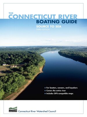
This is the all-new edition of the Connecticut River Boating Guide, the standard resource for boaters, canoeists, and kayakers. It includes thirty-two GPS-compatible maps that together map the entire length of the river. Data for twenty-eight river reaches include information on mileage, navigability, difficulty, sources of flow information, portages, camping, USGS maps and NOAA charts, special fishing regulations, boating facilities, and more. The narrative text accompanying the maps is a mile-by-mile description of the river with detailed information on landmarks, navigational hazards, conservation, wildlife, and history. The book is authored by, and published in cooperation with, the Connecticut River Watershed Council, the leading organization devoted to management of the river and its watershed.
Share


