
Sign up to save your library
With an OverDrive account, you can save your favorite libraries for at-a-glance information about availability. Find out more about OverDrive accounts.
Share

Find this title in Libby, the library reading app by OverDrive.


Search for a digital library with this title
Title found at these libraries:
| Library Name | Distance |
|---|---|
| Loading... |
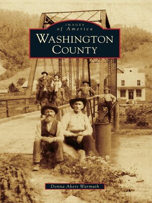
Located in southwestern Virginia, Washington County is a land of fertile grounds and rolling hills along the Holston River. Hardy pioneers settled this land in the mid- to late-1700s and tamed the wilderness to establish communities, churches, and schools. Officially formed in 1776, the county was named after Gen. George Washington for his fame and accomplishments before he became president. From the tribes of its original inhabitants to the introduction of the great railways and commerce, Washington County was a major gateway to the West along the Great Wagon Road and saw thousands of settlers and goods pass through on the way to the uncharted lands of the United States. With over 200 images, Washington County provides an intricate visit to the yesteryear of this rural region with scenes of the Virginia Creeper trains and railroads and the larger communities of Damascus, Meadowview, and Glade Spring, as well as early photographs of the smaller communities such as Benhams, Clinchburg, Mendota, and Hayter's Gap.
Share


