Sign up to save your library
With an OverDrive account, you can save your favorite libraries for at-a-glance information about availability. Find out more about OverDrive accounts.
Find this title in Libby, the library reading app by OverDrive.


Search for a digital library with this title
Title found at these libraries:
| Library Name | Distance |
|---|---|
| Loading... |
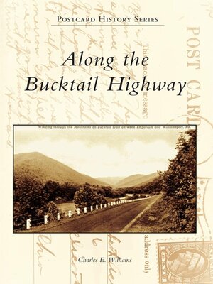
The Bucktail Highway, Pennsylvania Route 120, traverses over 100 miles of the commonwealth's historic northern tier, linking Ridgway in the west with Lock Haven in the east. The Bucktail Highway crosses the eastern continental divide east of St. Marys and closely follows the picturesque, deep valleys carved by Sinnemahoning Creek and the West Branch of the Susquehanna River. Originally a Native American path and later a road that carried settlers west beyond the Allegheny Front, today's Bucktail Highway is a centerpiece of the Pennsylvania Wilds, a public-private initiative to promote and conserve the unique natural and historic resources of the region. Along the Bucktail Highway showcases over 200 vintage postcards profiling the cultural and natural history of the towns, forests, and waters linked by this scenic route from its beginnings as a westward trail, its growth as a commercial and industrial corridor in the late 1800s and early 1900s, and its recent emergence as a premier Pennsylvania scenic byway.


