Sign up to save your library
With an OverDrive account, you can save your favorite libraries for at-a-glance information about availability. Find out more about OverDrive accounts.
Find this title in Libby, the library reading app by OverDrive.


Search for a digital library with this title
Title found at these libraries:
| Library Name | Distance |
|---|---|
| Loading... |
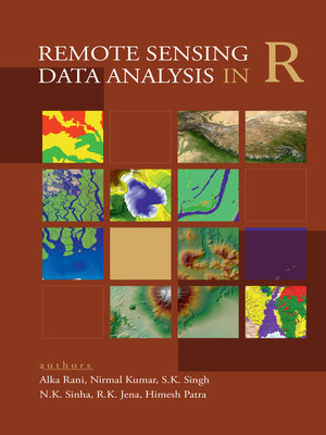
This book provides a comprehensive guided tour to the users for performing remote sensing and GIS operations in free and open source software i.e. R. This book is suitable for the users who have basic knowledge of remote sensing and GIS, but no or little knowledge about R software. It introduces the R software to users along with the procedures for its downloading and installation. It provides R-codes for loading and plotting of both raster and vector data; pre-processing, filtering, enhancement and transformations of raster data; processing of vector data; unsupervised and supervised classification of raster data; and thematic mapping of both raster and vector data. In addition to it, this book provides R-codes for performing advanced machine learning algorithms like random forest, support vector machine, etc. for supervised classification of raster data. This book is apt for the users who dont have access to the sophisticated paid software of GIS and digital image processing. Sample data for practice is provided in an additional DVD so that users can get hands on training of the R-codes given in this book. This book can serve as a training manual for performing digital image analysis and GIS operations in R software.


