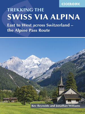
Trekking the Swiss Via Alpina
ebook ∣ East to West across Switzerland--the Alpine Pass Route
By Kev Reynolds

Sign up to save your library
With an OverDrive account, you can save your favorite libraries for at-a-glance information about availability. Find out more about OverDrive accounts.
Find this title in Libby, the library reading app by OverDrive.


Search for a digital library with this title
Title found at these libraries:
| Library Name | Distance |
|---|---|
| Loading... |
A guidebook to walking the Swiss Via Alpina from Sargans to Montreux on Lac Léman (Lake Geneva). Covering 400km (250 miles), this long-distance trek in the Swiss Alps takes around 3 weeks to walk and is suitable for experienced trekkers.
The route is described from east to west in 19 stages, each between 12 and 29km (8–18 miles) in length. A 27km (17 mile) prologue stage from Liechtenstein is also included, as well as detour stages via Lenk and Gsteig.


