Mapping the Holy Land
ebook ∣ The Foundation of a Scientific Cartography of Palestine · Tauris Historical Geographical Series
By Bruno Schelhaas

Sign up to save your library
With an OverDrive account, you can save your favorite libraries for at-a-glance information about availability. Find out more about OverDrive accounts.
Share

Find this title in Libby, the library reading app by OverDrive.


Search for a digital library with this title
Title found at these libraries:
| Library Name | Distance |
|---|---|
| Loading... |
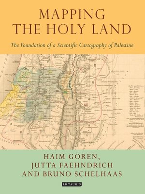
Mapping the Holy Land provides a unique study of the cartography of the Holy Land during the formative period of its development. Through a detailed study of the work of three of the leading figures of the era - Augustus Petermann, Physical Geographer Royal to Queen Victoria; cartographer Charles Meredith van de Velde, who produced the finest map of the region at the time; and Edward Robinson, founder of modern Palestinology – the authors explore the complex cultural, cartographic and technical processes that shaped and determined the resulting maps of the region. Making full use of newly discovered archival material, and richly illustrated in both colour and black and white, Mapping the Holy Land is essential reading for cartographers, historical geographers, historians of mapmaking, and for all those with an interest in the Holy Land and the history of Palestine.
Share


