

Sign up to save your library
With an OverDrive account, you can save your favorite libraries for at-a-glance information about availability. Find out more about OverDrive accounts.
Share

Find this title in Libby, the library reading app by OverDrive.


Search for a digital library with this title
Title found at these libraries:
| Loading... |
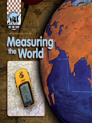
With easy-to-read text and full-color photos, this book discusses a variety of the techniques and technologies used for collecting map data, including surveying, aerial photography, satellite imaging, GPS, and GIS. It also introduces readers to thematic maps and reference maps. Readers will gain an understanding of cartography and the various professionals who help us understand maps. A graphic timeline identifies surveying tools, from the Gunter's chain and transit to the modern-day total stations. Colorful maps and diagrams highlight the text and simplify elevated concepts, such as triangulation. Informative sidebars, bold glossary terms, and an index enhance the engaging text and graphics.
Share


